Lakes are important for numerical weather prediction (NWP) because they influence the local weather and climate. That is why in May 2015 ECMWF implemented a simple but effective interactive lake model to represent the water temperature and lake ice of all the world’s major inland water bodies in the Integrated Forecasting System (IFS). The model is based on the version of the FLake parametrization developed at the German National Meteorological Service (DWD), which uses a static dataset to represent the extent and bathymetry of the world’s lakes.

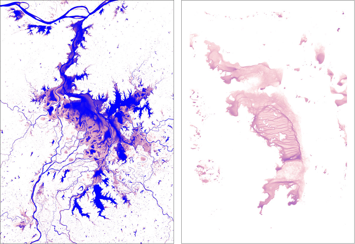
However, new data obtained from satellites show that the world’s surface water bodies are far from static. By analysing more than 3 million satellite images collected between 1984 and 2015 by the USGS/NASA Landsat satellite programme, new global maps of surface water occurrence and change with a 30-metre resolution have been produced. These provide a globally consistent view of one of our planet’s most vital resources, and they make it possible to measure where the world’s surface water bodies really can be found at any given time.
As explained in a recent Nature article (doi:10.1038/nature20584), the maps show that over the past three decades almost 90,000 km of the lakes and rivers thought of as permanent have vanished from the Earth’s surface. That is equivalent to Europe losing half of its lakes. The losses are linked to drought and human activities, including river diversion or damming and unregulated withdrawal. Elsewhere, more than 180,000 km of new permanent bodies of water have come into being. Many of these are new reservoirs created around the world, others are the result of climate change. For example, the high-elevation lakes throughout the Tibetan Plateau (Earth’s ‘third pole’) have expanded in size and number over the past decade. Some 8,000 km of land in the area is now under water, an increase in lake area of 20%. Around the world over 20 countries have each gained at least 1,000 km of new surface water.
Building on this 32-year history constructed from archived satellite imagery, the EU-funded Copernicus Earth observation services are examining ways of building a real-time monitoring system employing both the Landsat data and images from Europe’s Sentinel satellites. This could help to model the impact of lakes on weather and climate and vice versa much better than is possible at present.
In the IFS, the lake model takes into account all inland waterbodies occupying at least 1% surface area of each model grid box. That corresponds to between about 1 and 3 km of water for high-resolution and ensemble forecasts, respectively. Including lakes in ECMWF’s land–atmosphere model has had a positive impact on forecasts of near-surface parameters such as temperature and precipitation in the vicinity of lakes. This is because the presence of lakes has a range of effects on weather and climate:
- Over mid-latitude regions, lakes help to foster mild micro-climate conditions by acting as thermal inertial bodies, and they trigger locally higher precipitation rates. This happens especially when lakes are shielded by mountainous regions, which is often the case given the geomorphological origin of many lakes. The Lago Maggiore area straddling Switzerland and Italy is a case in point.
- At high latitudes, lakes tend to freeze almost every winter. It is important to predict when that happens as freezing changes the surface albedo and thermal capacity, which affects the surface fluxes exchanged with the atmosphere. In winter conditions this can make the difference between light or heavy snowfall downwind from a lake, as is often seen in the vicinity of the Great Lakes.
- An accurate representation of lakes is also essential in temperate and tropical areas, where lakes are linked with high-impact weather by contributing to the formation of convective cells. This happens mostly at nighttime due to moisture convergence and breeze effects. An example of where this regularly occurs is Lake Victoria, one of the African Great Lakes.
But accurately representing lakes in models relies on correctly mapping their geographic limits. This is where the Copernicus programme is going to help. ECMWF will therefore work with Copernicus services to explore how numerical weather prediction can benefit from the real-time monitoring of inland surface water bodies. A more dynamic representation of lakes will be part of wider moves at ECMWF towards an Earth system approach to forecasting. In line with the Centre’s new Strategy for 2016–2025, such an approach takes into account the interactions between all components of the Earth system that are relevant to NWP, at the necessary level of complexity.


