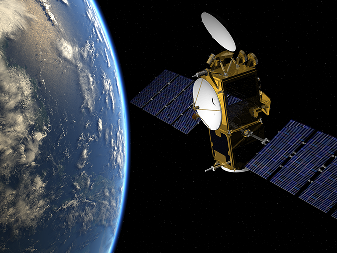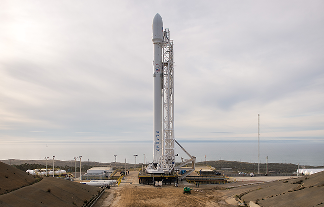

A satellite that can determine sea-surface height to within a few centimetres has gone into orbit after it was launched from Vandenberg Air Force Base in California on 17 January.
Jason-3 lifted off at 1842 UTC on a SpaceX Falcon 9 rocket, from which it separated just under an hour later.
Circling Earth at an altitude of 1,336 km, the satellite takes 112 minutes to complete an orbit.
Jason-3 will support a wide range of applications related to sea level rise, sea state, ocean circulation, and climate change. It is the fourth in a series of similar satellites launched since 1992.
Collaborative effort
Jason-3 is a joint US-European project.
It involves EUMETSAT and the French space agency CNES on the European side and NOAA and NASA on the American side.
“Jason-3 will secure the continuity of the unique climate data record of the mean sea level initiated by Topex-Poseidon in 1992 and continued by Jason-1 and Jason-2,” EUMETSAT said.
ECMWF will assimilate some of the data provided by Jason-3 into its Integrated Forecasting System (IFS) to help determine the state of the atmosphere and ocean at the start of a forecast run. It will also use Jason-3 data for model verification.
High-accuracy instruments
Jason-3 is designed to make high-accuracy measurements of sea-surface height and sea state using radar altimetry.
The satellite also carries orbit determination systems and a microwave radiometer, which measures the atmospheric total column liquid water and total column water vapour.
The altimeter measures the instrument’s precise distance to the sea surface, from which the sea-surface height is obtained. It also provides data on the roughness and structure of the sea surface, which can be used to determine significant wave height and surface wind speed.

Jason-3 was carried into orbit by a SpaceX Falcon 9 rocket. (NASA HQ PHOTO)
Impact on forecasts
At ECMWF, significant wave height, sea surface height, surface wind speed and total column water vapour from Jason-3 will be used for model verification. The first two products will also be assimilated into the IFS.
“We have shown that the assimilation of significant wave height from various altimeters can reduce the model’s wave height error by up to 9 per cent,” says ECMWF scientist Saleh Abdalla.
Dr Abdalla adds that wave height assimilation also has a small positive impact on atmospheric forecasts, and that initialising ECMWF’s ocean models using altimeter sea-surface height data improves seasonal forecast skill.
Moreover, having a complete altimeter data record since 1992 is crucial for climate studies, including atmospheric and ocean reanalyses, and for the EU-funded, ECMWF-run Copernicus Climate Change Service.
Jason-3 is expected to continue the altimeter data record until the launch of its successor, Jason-CS/Sentinel-6, in the 2020s.
Top image: Artist’s impression (EUMETSAT)
