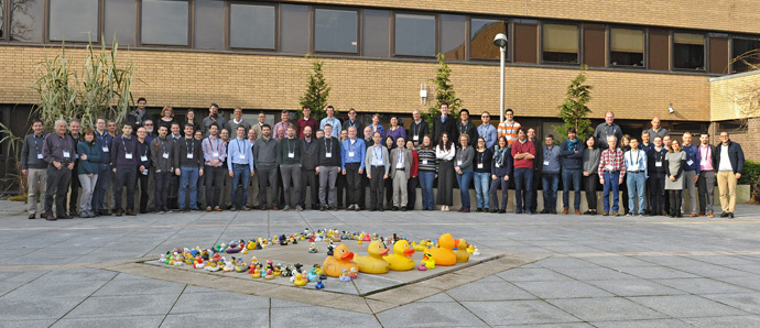
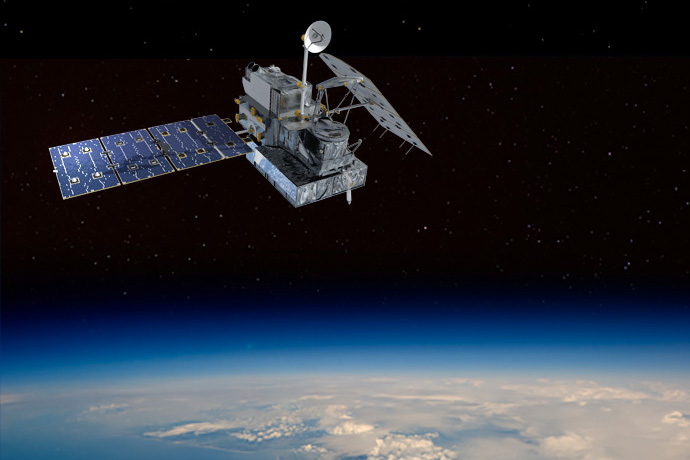
Eighty of the world’s top experts on using satellite cloud and precipitation observations in numerical weather prediction came together at ECMWF from 3 to 6 February to review progress and chart the way ahead.
The 26 speakers looked at the topic from multiple angles. “Cloud and precipitation assimilation is an interdisciplinary problem that can only progress through combined efforts in cloud physics modelling, observations, observation forward modelling and data assimilation,” says ECMWF scientist Niels Bormann, one of the organisers of the workshop.
“Panel debates, poster sessions and working group meetings brought different communities of researchers together, which was much appreciated by participants.”
The workshop, organised jointly with EUMETSAT’s NWP Satellite Application Facility (SAF) and the US Joint Center for Satellite Data Assimilation (JCSDA), follows similar events in 2005, 2010 and 2015.
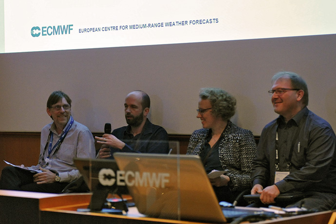
Panel debates provided opportunities for interaction between different communities of researchers. From left to right: Stephen English (Head of Earth System Assimilation at ECMWF), Jason Otkin (University of Wisconsin-Madison, US), Nadia Fourrié (Centre National de Recherches Météorologiques, France), and Ulrich Blahak (German national meteorological service, DWD).
Progress made
Satellite observations contain precious information on the state of the atmosphere, including great detail on cloud and precipitation. Data assimilation can now combine such observations with model information to help estimate the state of the Earth system at the start of forecasts.
One of the main difficulties in satellite data assimilation is that model values have to be transformed into simulated satellite observations by means of an ‘observation operator’. This ensures that they can be meaningfully compared with the satellite data.
Opening the workshop, ECMWF Director of Research Andy Brown noted that, in the early 2000s, many researchers were sceptical about the possibility of assimilating microwave radiance observations in cloudy conditions as well as when the sky is clear.
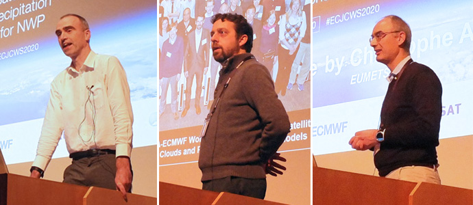
ECMWF Director of Research Andy Brown, Ben Johnson (JCSDA) and Christophe Accadia (EUMETSAT) welcomed the workshop participants.
One of the reasons is that it is much more difficult to develop a suitable observation operator for such ‘all-sky’ conditions. Doing so requires realistic assumptions about cloud and precipitation microphysics and variability on scales not resolved by the model.
Nevertheless, by 2015 sufficient progress had been made for the all-sky assimilation of microwave radiances to substantially improve forecasts.
“We are getting more and more value out of this, but don’t for a minute think that we’ve solved all the problems,” Andy said.
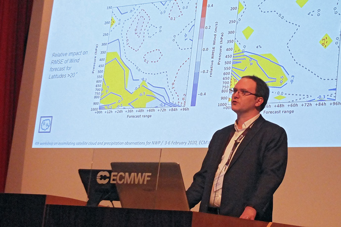
Philippe Chambon (Météo-France) gave an overview talk on the assimilation of microwave imager and humidity sounder observations of cloud and precipitation.
ECMWF’s top specialist on all-sky assimilation, Alan Geer, says there has also been a lot of progress in moving towards the assimilation of infrared radiances in all-sky conditions.
“Several centres, including the UK Met Office, the Japan Meteorological Agency and ECMWF, are working on it. Obtaining consistent forecast gains from all-sky infrared assimilation continues to prove challenging, but in the next few years I expect to see at least one centre using these radiances to benefit their operational forecasts,” Alan says.
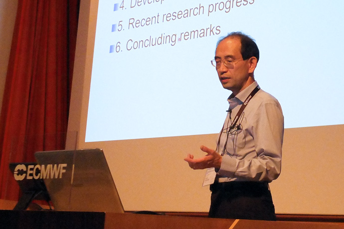
Kozo Okamoto (Japan Meteorological Agency/Meteorological Research Institute) gave an overview talk on all-sky infrared assimilation.
Research frontiers
The workshop included sessions on the state of play in assimilating satellite observations sensitive to cloud and precipitation; emerging observations; cloud and precipitation modelling; observation operators; and data assimilation methods.
Emerging observations that could be useful to assimilate include satellite cloud radar and lidar observations, which provide vertical profiles of clouds. Recent work at ECMWF has shown that assimilating them can improve forecasts.
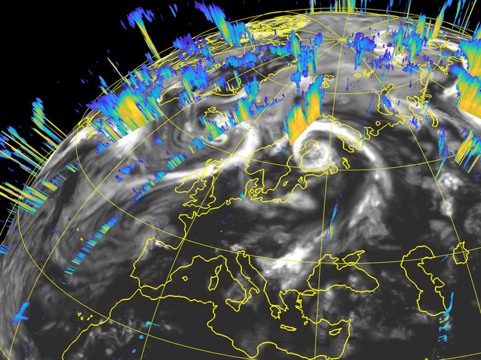
The image shows cross sections of CloudSat radar reflectivity corresponding to various portions of the satellite’s orbital track inside a 12-hour assimilation window for the 00 UTC analysis on 1 August 2007. The data provide information on the vertical structure of clouds.
Another active area of research is the assimilation of lightning observations and of radiances in the visible part of the spectrum.
“Our colleagues at the German national meteorological service (DWD) are investing a lot of work into the assimilation of visible radiances. These observations will bring almost unique information on low clouds over land,” Alan says.
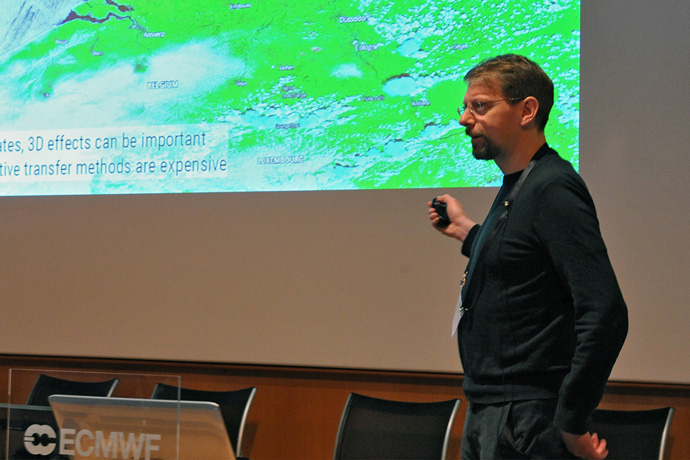
Leonhard Scheck (Ludwig Maximilian University of Munich, Germany) gave a talk on fast methods for simulating visible satellite images.
One of the challenges in this field is to represent the full 3D cloud structure revealed in visible light images, and for example DWD are now able to model the effect of cloud top inclination.
Satellite observations sensitive to cloud and precipitation are not just useful to help determine the initial conditions at the start of forecasts.
“In addition to assimilating them, they can also be used to support model development by providing vital information on the sources of forecast errors,” Alan says.
He points out that there is now a wide range of information available: from passive instruments measuring radiances in different parts of the spectrum, and from active instruments that measure the backscatter from clouds.
“Together with other sources of information, such as ground-based radar, we are moving towards a point of ‘microphysical closure’, where the sources of cloud and precipitation-related errors in forecast models can be identified by exploiting the overlapping sensitivities of different observation types.”
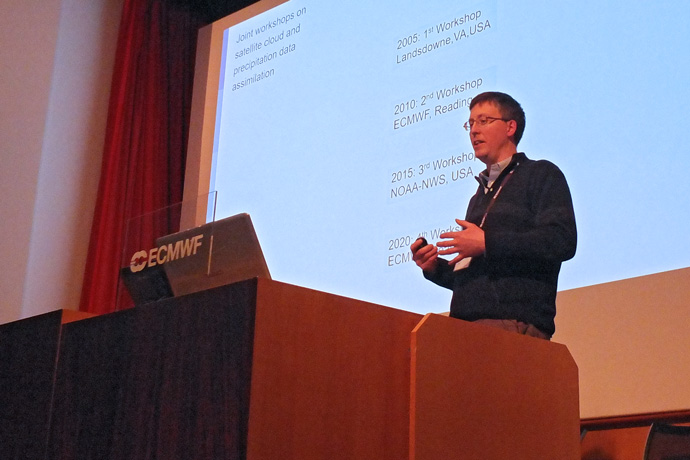
Alan Geer (ECMWF) gave an overview talk on the history of cloud and precipitation assimilation from satellites.
Further information
For further information on the workshop and access to the presentations and recordings, visit the workshop page on the ECMWF website.
A summary of recent progress in all-sky data assimilation at ECMWF can be found in an article by Alan Geer et al. in a recent ECMWF Newsletter article.
